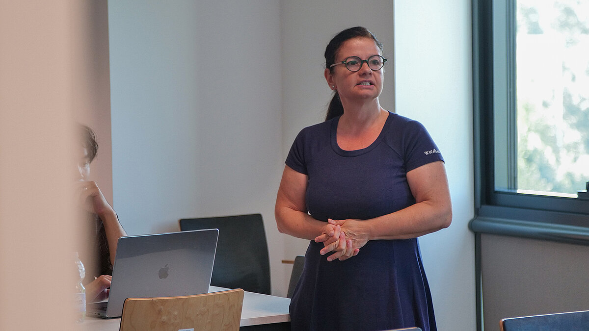
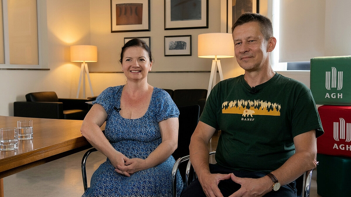
Urszula Kubiczek (Centre for Communication and Marketing): Kalispera, Professor Gemitzi, and welcome to AGH University International Faces. It is a pleasure to have you with us. Coming from Greece, you bring extensive experience in environmental science, hydrology, and water resources management. Could you tell us about your academic background and research focus?
Kalispera, and thank you for the question and for the invitation. My name is Alexandra Gemitzi and I am a professor at the Democritus University of Thrace in northeastern Greece. It is a regional university named after the philosopher Democritus, who was born in this area. It is a very dynamic institution, with many departments, around 12,000 undergraduate students, and well-developed postgraduate and lifelong learning programmes.
I am part of the Department of Environmental Engineering, and my specialisation revolves around water resources, including water resources management, hydrology, and groundwater-surface water interaction. Although hydrology might seem traditional, scientific advances are moving very fast. Today, we have access to satellite data, drone missions, and in-situ measurements from various sensors. These require close collaboration with experts in computer science and information and communication technologies, enabling us to analyse and model water systems with unprecedented detail.
Long-term partnerships drive discovery. Professor Gemitzi, you have collaborated on a number of European projects studying climate change's impact on groundwater. How did your collaboration with AGH University begin?
I have been collaborating with Professor Przemysław Wachniew, head of the Environmental Physics Group at the Faculty of Physics and Applied Computer Science, for over 16 years now. We first met through a large-scale European project focused on the impact of climate change on groundwater resources across Europe.
After that project ended, we continued our collaboration and were able to initiate another one. In fact, I initiated it and invited you, AGH University, to join: a project, called “Waterline”, using novel communication and information technologies for studying and managing water resources.
Being able to track water systems like never before, what did you focus on in Waterline and how is the project relevant today?
The project consisted in using advanced technologies to study environmental challenges, particularly those related to water such as droughts, floods, and water allocation issues, which are critical across Europe and globally. The main objective was to integrate different data sources – satellite data, drone observations, and ground-based measurements – to better understand water resources, assess how much water is available, and support more effective allocation based on the specific needs of each region. The project highlighted how conditions vary across regions. For example, in northern areas like Finland, short growing seasons and frost conditions require highly efficient water management. Poland has relatively greater water availability, although water quality can be an issue, especially in industrial regions.
In my country, we have been experiencing severe drought for the past several years, which has significantly reduced water availability. Combined with climate change, this is expected to lead to even more challenging conditions in the future. The increase in large-scale wildfires in recent years is closely linked to these prolonged drought conditions. Given these challenges, it is essential to better understand the water cycle, accurately assess available and renewable water resources, and manage water allocation carefully. This is especially important in countries with strong tourism sectors, where water demand peaks during the summer precisely when water availability is at its lowest.
For many scientists, curiosity about how the Earth works becomes the driving force behind their careers. What inspires your research?
My inspiration comes from the ever-changing nature of Earth. I tend to think of Earth not just as a planet, but almost as a living system constantly evolving and transforming over time. As a geologist by training, I’ve spent years studying these processes and observing how dynamic our planet really is. Earthquakes and volcanic eruptions reshape both the surface and subsurface, while processes like erosion, floods, and droughts continuously alter the landscapes around us. The place we are standing today could have been a deep ocean millions of years ago. This perspective makes me deeply interested in understanding how Earth is changing, how these changes impact our daily lives, and how we can use this knowledge responsibly. Ultimately, the goal is not only to benefit humans, but to support all forms of life, animals, plants, and entire ecosystems that depend on these natural processes.
International collaboration plays a crucial role in advancing research and sharing knowledge across borders. How do you assess your collaboration with AGH University and the development of Poland’s research environment?
I was very happy to come here and see that the university has a strong international presence, including a growing number of international students and a very well-organized PhD programme. The doctoral students are enthusiastic about new technologies, eager to learn, and open to new approaches, which is very encouraging. It is great to see a university developing so quickly and building such a strong international character.
One of the first things that impressed me, especially since we have been collaborating for quite a long time, and what strikes me most is the scale of progress. The country is clearly transitioning and developing rapidly. From this perspective, Poland can serve as an example for other countries, particularly within the Horizon Europe programme.
The university itself is evolving rapidly. I notice new infrastructure, which is very important, as it helps attract international students, including top talent from around the world. This is essential for building a strong research environment.
I also see that the team I collaborate with, Professor Wachniew’s team, is developing very quickly. It has gained a strong international character. There are many PhD students graduating, research output is increasing, and the overall research activity is growing. All of these are very encouraging developments, and I am very pleased to witness this progress. In my own country, we are also going through a period of transition, so I will definitely take this experience back as an example of good practice.
Modern environmental science is increasingly driven by data. How are GIS and new technologies transforming environmental research?
GIS stands for Geographic Information Systems, and we use this technology to examine spatial and temporal changes in specific areas around the world, and even on a global scale. Recently, there have been many developments in this field due to the launch of new satellite missions. Almost every country is now starting its own microsatellite programmes. Greece has already launched its satellite programme, and I understand that Poland also has strong infrastructure, including small and medium-sized enterprises working in satellite construction and space technologies.
As environmental scientists, we are not expected to build satellites, but to access and analyse the data they provide. Until recently, this was a major challenge, as large datasets had to be downloaded, often under computational limitations, which sometimes made the process very difficult.
This has changed with the development of information and cloud technologies. Today, we have cloud infrastructure and open access to satellite datasets from agencies such as NASA and ESA. The data is freely available; the key is learning how to access it and how to extract the relevant statistical indices.
For example, when monitoring vegetation productivity, we need to know which indices are important to track changes over time and space. Instead of downloading datasets, we now work directly in the cloud using platforms that provide easy access to satellite and environmental data, such as Google Earth Engine. This is also why I am here, teaching its applications and remote sensing to doctoral students at AGH University. The crucial point is to take full advantage of advances in satellite and space technologies and to develop the skills needed to use them effectively.
Satellite observation offers global coverage, but precise modelling requires data collected on the ground. Why is combining satellite and ground data so important?
Another crucial aspect of this research is how we combine in-situ, ground-based information, such as data from meteorological stations and environmental sensors, with other datasets in order to get the best possible results.
This was also the focus of a previous project carried out in collaboration with AGH University and other universities across Europe. It was a very successful collaboration, resulting in numerous publications and significant advances in how remote sensing data can be assimilated into hydrological models. This was not easy to achieve in the past, but today we have the tools to do it, and hydrological modelling has improved considerably by using satellite data as input.
At the same time, we rely on ground monitoring networks, especially when satellite data is not available due to cloud cover. In such cases, ground-based observations become essential. Satellite data also often requires correction; for example, precipitation estimates need to be validated using measurements from meteorological stations.
By combining satellite and ground-based data, we can improve their accuracy and achieve much better results in hydrological modelling.
Research becomes truly meaningful once it reaches communities. What achievement are you most proud of?
One of my most important achievements was establishing a new environmental monitoring network in northeastern Greece. What makes it unique is that it brings together scientists and local communities.
Today, around 40,000 people are part of this network. Some help maintain environmental sensors in remote areas, while others use the data in practical ways for agriculture, livestock farming, and water conservation.
This initiative shows how research can directly benefit society and help people better understand and protect their environment. This initiative shows how research can directly benefit society: helping people better protect their environment and use data in practical ways, particularly for agriculture, livestock farming, and water conservation.
Universities play a pivotal role in shaping the next generation of researchers. How do your students engage with new technologies?
Students are very enthusiastic about environmental monitoring. Many of them, especially in engineering, have strong computational skills, which makes them particularly interested in areas such as remote sensing, cloud-based geospatial tools, and web application development. These are relatively new and engaging topics that resonate well with younger generations. Many undergraduate students have already gained opportunities to study abroad: at least five of my students have continued their education internationally. Doctoral students are also highly engaged: they work with datasets, contribute to publications, and participate in proposal writing and other academic activities.
At the same time, we actively develop and maintain international collaborations. For example, last spring I was a visiting professor at the University of Virginia as a Fulbright scholar, where I collaborated with NASA scientists and learned a number of new approaches. It was a very valuable experience, which I now bring back and share with my students.
Scientific careers rarely follow a straight path.What advice would you give to early-career scientists?
My motto is simple: never give up. In science, setbacks are common, whether it is limited funding or repeated rejections of research papers. While the profession may not always be financially rewarding, it offers strong intellectual satisfaction, especially when your work delivers real results. Rejection is part of the process. Papers often need to be revised and resubmitted, and reviewer's comments, even critical ones, can help improve your work. Even when feedback feels unfair at first, it often proves valuable upon reflection. Progress in science depends on persistence: learning from criticism, improving your work, and continuing forward.
Professor Gemitzi, thank you for sharing your journey and insights. It is a pleasure to have you as part of AGH University’s international community.
Dziękuję. Efcharistó [thank you in Polish and Greek].
Professor Alexandra Gemitzi’s work shows that understanding our planet is the first step toward protecting it. At the AGH University of Krakow, environmental science is not only studied; it is applied, shared, and used to train the next generation of scientists tackling global challenges.
Special thanks are due to Professor Przemysław Wachniew and the research staff of the Faculty of Physics and Applied Computer Science at the AGH University of Krakow for their invaluable support in making this video.
View more episodes